It’s tiresome to still be writing about the heat, but this Summer was a doozy. For those of us in Tucson and the surrounding Sonoran Desert, we’re coming out of one of the drier monsoons of the last 50 years, logging 15 more 100F+ degree days than normal. Much of Arizona and the country at large recorded record years as well. Even though you know the long heat is coming each year, it’s never easy to bear for so long. It wears you down, and by the time late September rolls around, it feels like all you’ve ever known is searing heat and sweat. A closet full of puffy jackets and wool socks seems absurd, but for the second year in a row, we’ve given all those goose feathers and lamb hair a dust-off and headed to ride bikes in the mountains.
This year we made the long drive to Southern New Mexico to ride Matt Mason’s (creator of the Monumental Loop) WeedSac 140, aka Rollin’ and Tumblin’, in the Lincoln National Forest. Starting and ending in the mountain community of Cloudcroft (elevation 8676’), the route climbs and descends on repeat for three days on quiet dirt roads and rutted out two-tracks. After caravanning in a pickup truck and an RV, we met up late Thursday night to camp on a dirt road pullout just a few miles out of town. Tents went up, Jeff slept on his memory foam in the RV, and Toby and I gambled on cowboy camping even though the stars were clouding over. Twenty minutes in and near sleep, raindrops started. We pitched a tarp in a hurry, and by the time we laid down again, the rain stopped and the stars appeared once again.

Friday morning began in town with a stop at the Burro Street Bakery for hatch chile breakfast burritos, pastries, and coffee. Town was still coming alive, and main street the kitschy shops with Western facades gave a kind of deserted feel to the place. We parked cars at the National Forest field office outside of town and consulted one another on layers, water, and food. It seems that no matter how often you ride and camp with your bike, these things are always a bit of a puzzle. Bags quickly fill up even though you packed light, and that last layer is always a question mark. Riding with friends and observing how different people approach the same ride is one of the highlights of these trips.
Tucson was set for another 100F weekend, but Cloudcroft was a brisk 52F that morning. It was glorious. We snapped a quick group photo with an elk statue and rolled back through town to the start of the route. In no time we were out of the city limits, riding singletrack through a pine forest. We promptly took two wrong turns, followed by a third that sent Josh bombing down a lovely piece of dirt only to turn around and push back up it. My Wahoo showed we were off-route to the left. Toby’s Hammerhead showed us off-route to the right. Mark’s Garmin was spot-on, and so was Jeff’s Wahoo. The day followed suit.


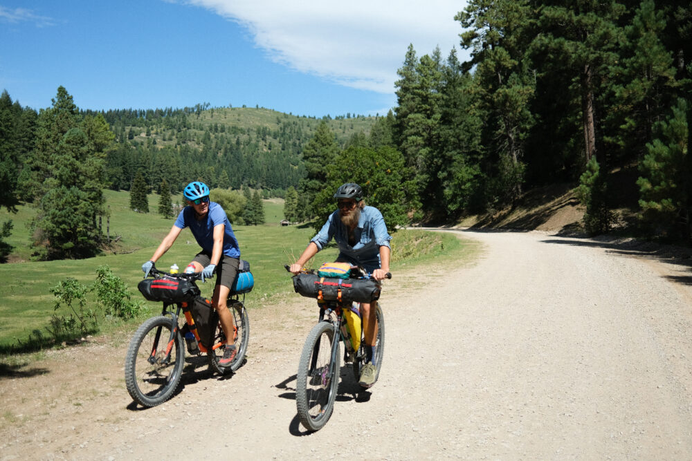
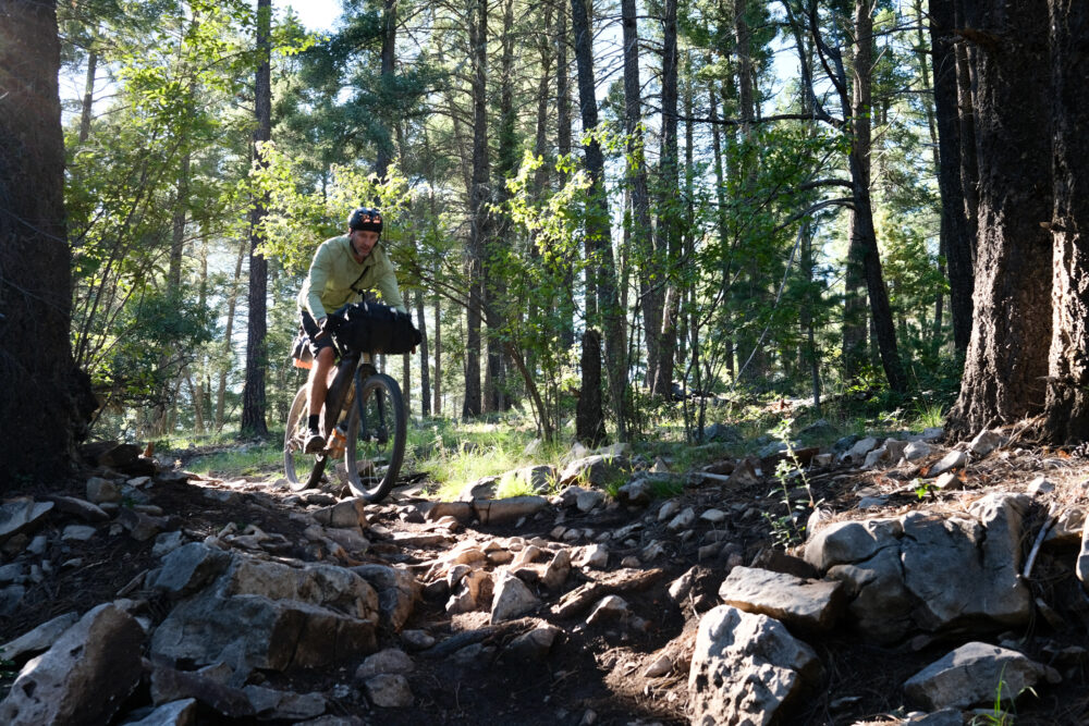
Before too long, the route led us out into a beautiful meadow with single track slicing down one side. We hit a few jumps and avoided some grotesquely large clumps of cow crap before connecting up with a forest service road and our first climb of the day. The route description reads “Climb then coast. Repeat until you’re cooked” and the first day held true to its word. The Lincoln National Forest surrounding Cloudcroft is comprised of several hundred thousand acres of land punctuated by a maze of roads ranging from good dirt roads suitable for a Corolla, to 4-wheeler-ripped-up two-track, to steep and spicy sections of singletrack.
After lunch under the shade of some oak trees, we finished the fast descent on 16 Springs Canyon Road, and just as we were coming into a hairpin turn, we caught sight of a beautiful bull elk climbing the hillside of a burned area. Even from 30 yards you could see that it was an incredibly powerful animal that would likely tower over all of us – even Mark. We watched until the elk hit tree cover, and though that would be the only one we’d see, we fell asleep both nights with elk bugling in the forest around us.

Our goal for the late afternoon was the Mayhill Country Store for a light resupply to round out our provisions. We loitered out on the patio benches consuming Java chip ice cream, Coke, Doritos, and pickles. A gentleman started an easy conversation with us, and I noted an unmistakable Texas accent. He was curious what we were up to and offered up his own interests in riding dirt bikes and looking after his horses, which for 80 years old, felt impressive. A car had run through the front of the post office not too long ago, and had it not been for his friendliness, that little building might have gone unnoticed. We topped up our water from a hose at the baptist church and rolled another hour before making camp at mile 44.
Our second morning started early, but we lingered and chatted over coffee long enough that it was nearly 9AM before we rolled out. Not a half mile in, we crossed an uneven cattle guard at speed, and a lip on the grate caught Toby’s pulley and snapped it clean off. Dave offered some super glue, and after cleaning the surfaces with an alcohol swab, Toby was able to pop the bearings back in the pulley and continue rolling.


The big feature of the day was a 27-mile climb to the high point of the route at just over 9500’ but before the climb began in earnest, we passed through the small community of Weed. We stopped at the Weed Store for more snacks and water but no grass. A handwritten sign at the register read “Please do not inquire about purchasing marijuana,” though they were certainly capitalizing on the name with shirts, hats, and koozies for those passing through. No local would wear that stuff.
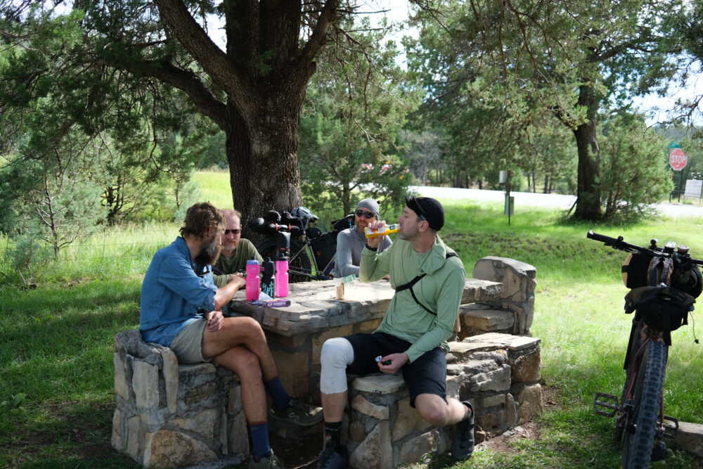
We climbed most of the day in a headwind that made the moderate gradient feel more stout. As the road climbed and we left the community of Sacramento behind, the houses faded and our group spread out. Everyone settled into their individual climbing rhythm, and by the time lunch rolled around, we were split into two groups. Dan, Mark, and I had lunch in the half-shade towards the top of the climb, and Jeff, Josh, and Toby had stopped for an earlier lunch before the final push to the top. We regrouped and brewed coffee before starting the descent and the final miles of the day.


You never know what kinds of signs you’ll find in the yards of country houses. My favorites are those selling a dozen eggs or jars of honey on the honor system. There’s often a slew of “Private property” signs of various threatening degrees, or more benign, a remodeling company’s yard sign with a number to call if you’d like a similar service. Pedaling the final miles to Bluff Springs and our camp spot for the evening, we passed a set of enormous signs hanging from the high fence of a well-kept house. I won’t go into specific details on all of them, but suffice it to say the residents weren’t fans of the current President and made liberal use of a certain four letter word to express it. Sadly, nothing new in these times.
Strangely, though, there was a third sign that kindly served as a public service announcement to let passersby know that the road we were on was in fact a public road and that “nextdoor neighbor Tommy Decker is an @$$hole that wants to convince you otherwsie.”


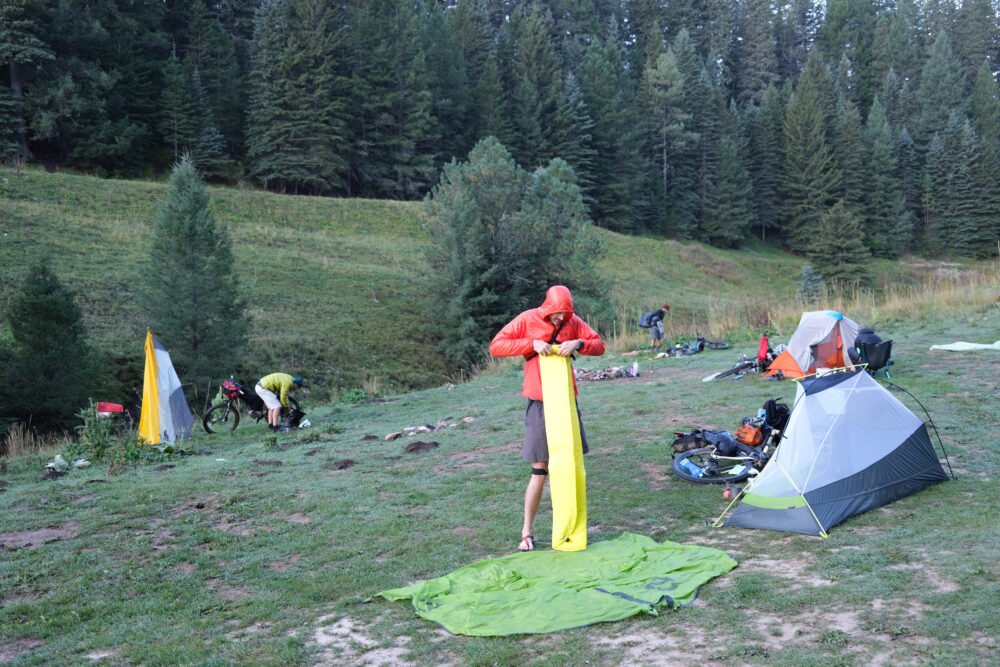
Bluff Springs was jam-packed with Texas license plates, ranchero tunes, and the delicious smell of grilled meats that made our cold bags of food seem unappetizing. We sat around our only fire of the trip, filtering water and drying out clothing that was already getting damp from dew settling in our camp.
My watch read 39F on the final morning, but it began with a steep climb to warm us up. The route profile read like a set of shark’s teeth – climb, descend, climb, descend, climb, descend. After the first big push up Benson Canyon Trail, we ran into some hunters who were out for elk on the final day of bow hunting season. Everyone was curious about each other’s hobbies, so we talked bikes, animals, seasons, and gear. One of the men told us that he had come up the same trail we had just pushed up for half an hour and that his buggy didn’t like it.
“My buggy don’t like it either,” Toby said.


We were all hungry and ready to be done by the time we hit the High Rolls General Store. The gas pumps were out, so we lounged in the shade of the awning and ate what we could scrounge from the store. Either way you sliced it, it was all climbing back to Cloudcroft at this point. Toby, Josh, and Jeff headed back to town via the highway, and Dave, Mark, and I continued up the WeedSac on some prime dirt with views looking East to White Sands National Monument. Back at around 6000’ the temperatures had climbed, and the tall pines had given way to shadeless juniper. It was hot, but because the route immediately climbed again, we were soon back in the forest and happy to find a small stream to top up water and soak our hats and shirts.


Ritz cheese crackers, sour gummy worms, and string cheese powered us up the final singletrack climb. Dave was leading, and up ahead I saw him wave his hand off to the right and yell-whisper “BEAR!” I just caught a dash of black pelt run off through a stand of aspens, and with that, we finished the WeedSac on a pretty special high note. The final few miles were a retracing of the initial miles as we looped back into town the way we had come.


Town felt empty just as it had three days prior, and being Sunday, nothing much was open. We drove back into the low desert of Alamogordo and ate takeout in the parking lot of La Hacienda Family Restaurant. All at once you get everything you want in an instant. Cold drinks, hot food, a sink to wash your hands, and a clean T-shirt. It’s amazing the things you can experience and the people you’ll run into in such a short time. I always finish these trips feeling grateful for the good folks who sign up to make these rides special, so a special thank-you to Josh, Toby, Shannon, Mark, Jeff, and Dave for making the effort. Thanks to Tommy Decker, too, for giving us something to talk about. You probably take a lot of shit living on that dirt road, and I reckon you’re not half as bad as the signs themselves.


